  • Topographic Surveys

    RESIDENTIAL / COMMERCIAL / HERITAGE

Land Surveys


Boundaries


Area Calculations


Digital Terrain Models


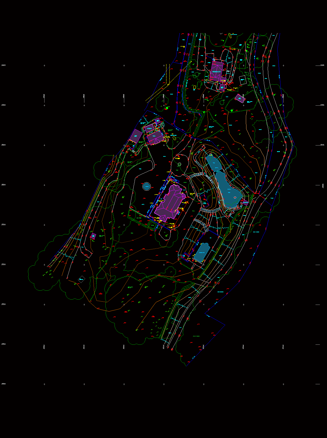
A Topographical Survey offers an accurate record of both natural and man-made features within any specified area, whether for planning, development or reference. This record can help to identify existing conditions on a site and demonstrate any obstacles that may cause issues with development. Providing this information aids designers in creating suitable designs for the specified site.


Utilising Total Stations, 3D Scanners & GPS systems, we provide a detailed overview of buildings, site elevations, highways, boundaries, utilities, and landscaping elements. 


Surveys can be tailored to your needs with bespoke levels of output and detail to meet your objectives and budget.


Whatever is required for your project, be it a fully positioned Survey of your plot, site plan, ground elevations, boundary position or marking, area measurement or a digital terrain model (DTM) - We can help.
REQUEST A QUOTE

Land Surveys

LAND
SURVEYS

We offer a comprehensive range of Topographical services, all tailored to the needs of your project.

As a standard, our Topographic surveys includes

  • Hard-standing and natural features 
  • Buildings (Inc. Ridge & Eave Levels)
  • Boundaries
  • Levels across the site
  • Above ground  services
  • Tree positions & canopies. 

This would typically extend to surrounding properties and adjacent roads and paths.

Outputs can be issued in any format, whether in 2D or 3D and can contain additional features such as dimensions and contours. The Survey can be referenced to an OS/GNSS datum or local coordinates.

Digital Terrain Models

DTM

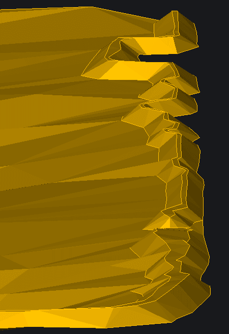
Measured elevation data helps to create a 3D representation of the ground surface and can be used in construction, agriculture and environmental for applications like site planning, road design, flood analysis and habitat mapping.


With a digital twin showing the topography of your site, we can extract sectional data, view landfalls and calculate earthwork volumes.
Area & Volume Calculations

AREA &
VOLUME
CALCS


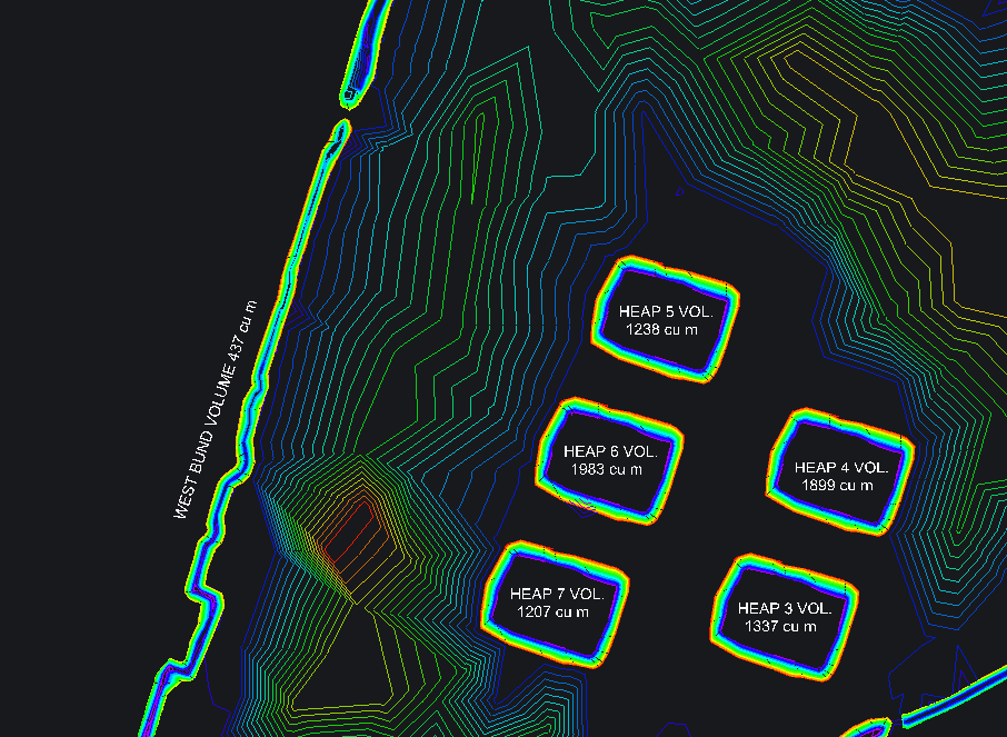
A measured plan can give you a precise measurement of the total area of your site or help to divide plots for legal purposes. We can also offer volumetric calculations for a variety of purposes to determine the amount of materials or resources in a given area.

Accurate area and volume calculations ensure proper planning, cost estimation, and resource management in surveying and engineering projects.


Boundary Mapping

BOUNDARY
MAPPING

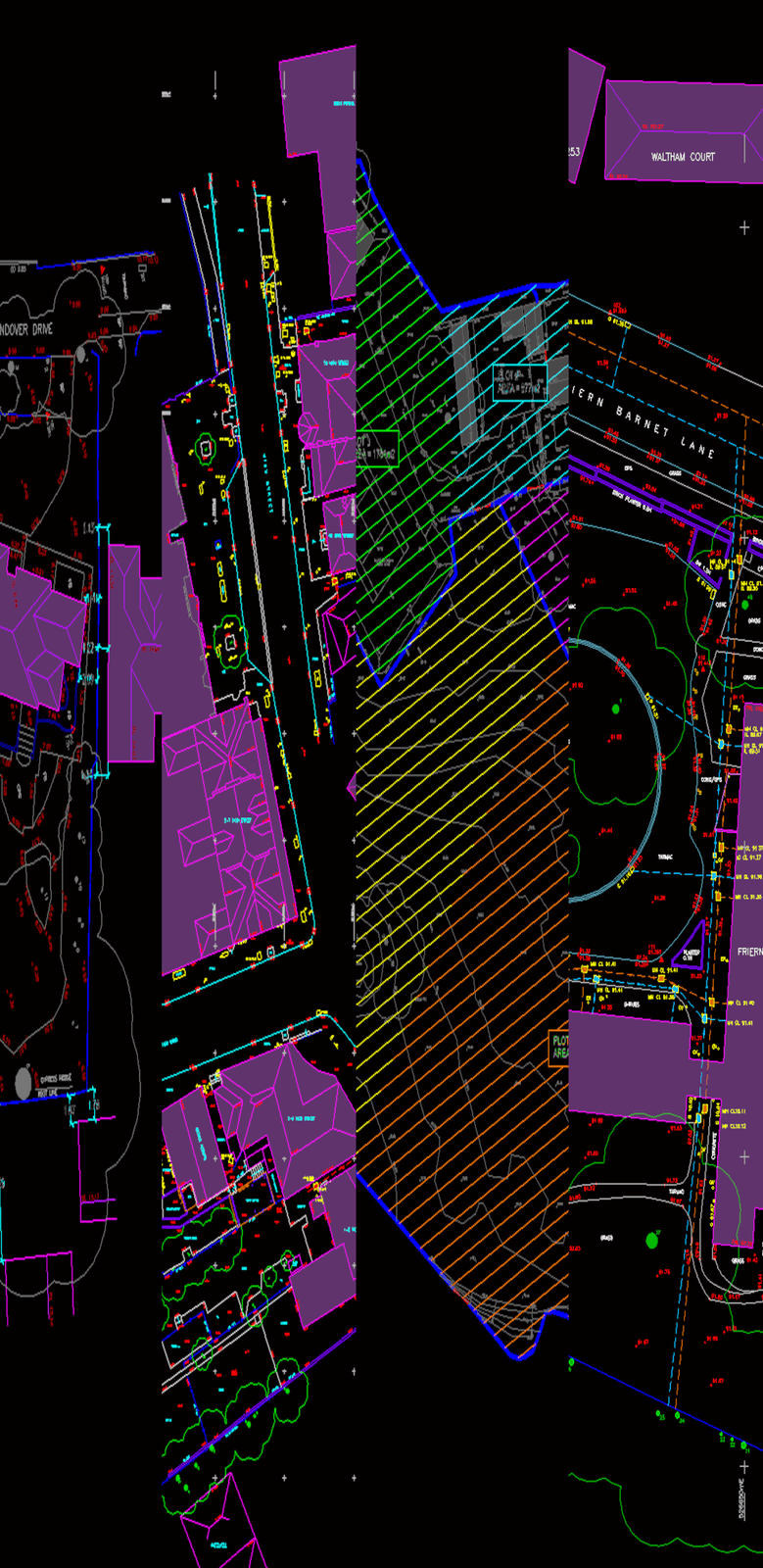
Existing features and physical demarcations can be measured and plotted onto HM Land Registry plans to give a better understanding of site extents and legal ownership.


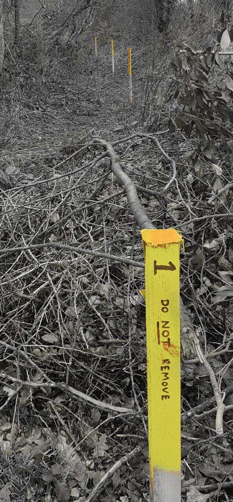
We can plot new and historic site boundaries using OS Map coordinates which can then be marked physically on your site.


This is then provided to you in a report containing key information that enables tenants, funders, purchasers, and vendors to make informed decisions


Example Drawing